-

-
-
-
 1 × $44.99
 -
 1 × $999.99
 -
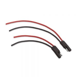 1 × $11.99
 -

-
 1 × $47.62
 -
-

-

-
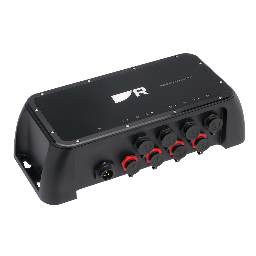
 1 × $944.99
 -

-
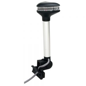
 1 × $21.00
 -
-

-
 1 × $35.72
 -
-
 1 × $49.95
 -
-
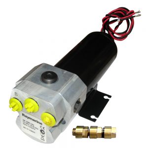
 1 × $692.95
 -

-
-
-
 1 × $48.99
 -
 1 × $109.99
 -
-
 1 × $17.46
 -

-
-
-
 2 × $125.00
 -
-

-
 1 × $140.00
 -
-
 1 × $89.91
 -
 1 × $24.99
 -
-
 1 × $479.99
 -
 1 × $32.99
 -

-

-
-
-

-

-
-

-

-
 1 × $49.99
 -
 1 × $239.99
 -

-
-
 1 × $7.60
 -
-

-
-
 1 × $685.71
 -
-
 1 × $49.99
 -
-

-
 1 × $459.99
 -
-

-
 1 × $249.99
 -
-
 1 × $8.99
 -

-

-

-
 1 × $7.58
 -
-
-
-

-


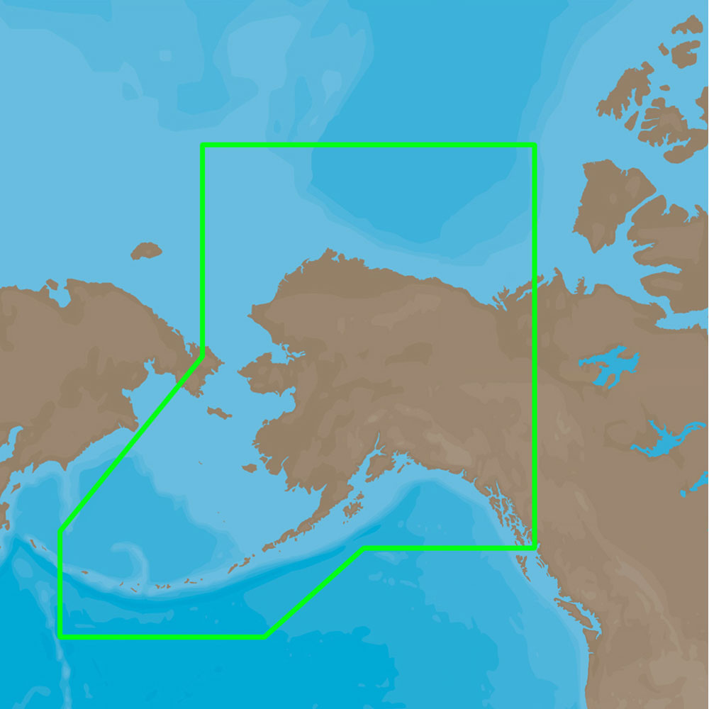
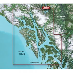
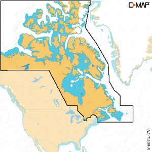
4D Lakes NA-D072 North Central
C-MAP charts have long been held in high regard by boaters because they combine aesthetically pleasing vector electronic charts with reliable sources. When buying C-MAP boaters can be assured that the charts they are getting are of the highest standard.
C-Map 4D will provide boaters with charts packed additional features such as raster chart views or Satellite images* to maximize situational awareness.
Coverage Area:
Lakes and major rivers of North Central region of USA including states of: Minnesota, Wisconsin, Michigan, Iowa, Illinois, Indiana. Includes coverage of Lake Michigan, Lake St. Clair, portions of other Great Lakes.
Additional information
| Weight | 0.2 lbs |
|---|---|
| Dimensions | 8 × 5 × 1 in |
| Brand |