
-
 1 × $65.00
 -
-
-
 1 × $39.99
 -

-
-

-

-
-

-
 1 × $32.99
 -

-
-
 1 × $41.49
 -
 1 × $54.39
 -
 1 × $199.00
 -
-
 1 × $1,122.00
 -
 1 × $24.99
 -
-
-
-
 1 × $139.00
 -

-
 1 × $107.99
 -
 1 × $48.99
 -
 1 × $49.99
 -
-
-
 1 × $26.01
 -
 1 × $249.99
 -
-

-
-
-

-

-
 1 × $18.69
 -
 1 × $35.72
 -
 1 × $1,305.27
 -
-
-

-
-

-
-
-
 1 × $56.99
 -
-
 1 × $14.99
 -
 1 × $4,499.99
 -
-
 1 × $25.00
 -

-
 1 × $70.95
 -
-
-
-

-
 1 × $489.99
 -
 1 × $279.00
 -

-
-
 1 × $136.75
 -
-

-

-

-
-
-

-

-
 1 × $1,470.00
 -
 1 × $119.99
 -

-
-
-
 1 × $19.99
 -
 1 × $29.99
 -
-
-

-

-
-
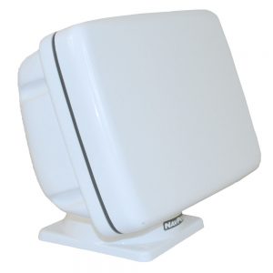
 1 × $199.00


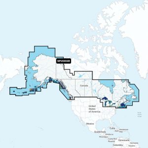
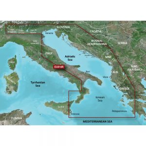
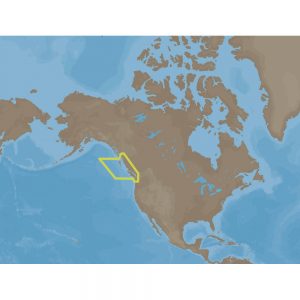
4D Lakes NA-D074 South East
C-MAP charts have long been held in high regard by boaters because they combine aesthetically pleasing vector electronic charts with reliable sources. When buying C-MAP boaters can be assured that the charts they are getting are of the highest standard.
C-Map 4D will provide boaters with charts packed additional features such as raster chart views or Satellite images* to maximize situational awareness.
Coverage Area:
Lakes and major rivers of the South East area of the USA in the states of: Florida, Georgia, Alabama, Tennessee, South Carolina, North Carolina.
Additional information
| Weight | 0.2 lbs |
|---|---|
| Dimensions | 8 × 5 × 1 in |
| Brand |


