
-
 1 × $440.00
 -

-
-
 1 × $21.99
 -
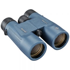
 1 × $85.85
 -
-
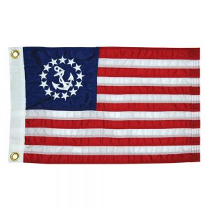
 1 × $119.99
 -
 1 × $41.99
 -
-

-

-
-
-
-
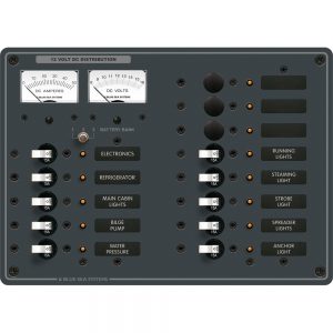
 1 × $1,250.24
 -

-
-
-
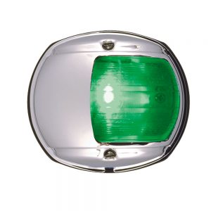
 1 × $20.91
 -
 1 × $54.99
 -
-
-
-
-
 1 × $232.99
 -
 1 × $35.71
 -
-
 1 × $44.99
 -
 1 × $199.99
 -
-
-
-
-
 1 × $32.99
 -
 1 × $1,938.70
 -
 1 × $1,154.99
 -
-
-
-
 1 × $199.00
 -
 1 × $18.99
 -
-

-
-

-
-
-

-
-
-
-
-

-
-
-
-

-
-
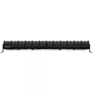
 1 × $489.99
 -
-
-
-
-
 1 × $48.00
 -
 1 × $30.18
 -
 1 × $99.99
 -
-
-
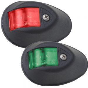
 1 × $469.99
 -
 1 × $17.95
 -
-
 1 × $114.99
 -
-

-

-
-
 1 × $39.99
 -

-
 1 × $50.00
 -
-
-
-
 1 × $2,414.99
 -
-
-


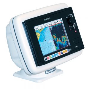
4D SA-D500 Costa Rica to Chile to Falklands
C-MAP charts have long been held in high regard by boaters because they combine aesthetically pleasing vector electronic charts with reliable sources. With the backing of Jeppesen’s parent company Boeing, a well-respected multibillion dollar global company, boaters can be assured that C-MAP charts are of the highest standard.
C-Map 4D will provide boaters with charts packed additional features such as raster chart views or Satellite images to maximize situational awareness.
Coverage Area:
Costa Rica to Chile and the Falklands
Features:
- Vector cartography
- Tidal heights
- Currents/Tidal flows
- Animated currents
- Marina charts
- C-Marina ports database
- California MPAs
- Coastal Roads
- Aerial Photos
- Land Elevations
- NavAids
- Multi-language charts
- TrueType font
- Depth Contours
- Online updates
- Explorer® charts
- Wavey Line charts
Additional information
| Weight | 0.1 lbs |
|---|---|
| Dimensions | 10 × 6 × 1 in |
| Brand | |
| Country |


