
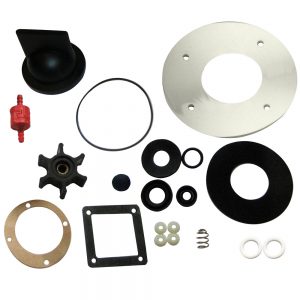
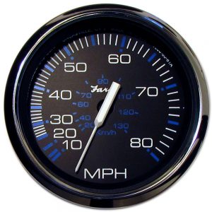
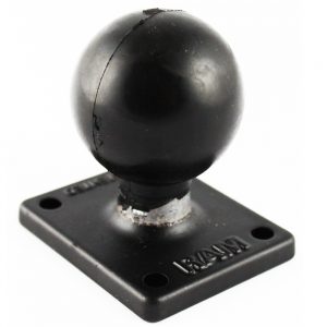
-
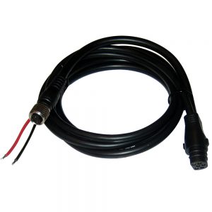
 1 × $26.49
 -
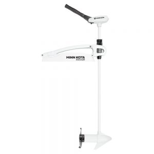
 1 × $762.99
 -
-
-
-
 1 × $25.00
 -
-
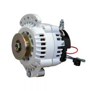
 1 × $910.00
 -
-

-
-
-
-
-
-
-
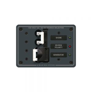
 1 × $179.99
 -
-
-
 1 × $58.35
 -
 1 × $200.00
 -
 1 × $12.82
 -
 1 × $1,815.43
 -
-
-

-
-
 1 × $43.28
 -
 1 × $12.68
 -
-
 1 × $679.00
 -
-
-
-
-
-
 1 × $1,017.95
 -
 1 × $279.00
 -
-
 1 × $149.00
 -
-
 1 × $117.00
 -
 1 × $49.99
 -
 1 × $177.00
 -
 1 × $80.00
 -
-
-
-
 1 × $8.99
 -
-

-
 1 × $133.00
 -
 1 × $874.00
 -
-
-
 1 × $2,701.99
 -
 1 × $718.99
 -
-
-
 1 × $170.00
 -
-
 1 × $12.50
 -
 1 × $2,625.00
 -
 1 × $169.95
 -
-

-
 1 × $44.99
 -
 1 × $24.99
 -
-
-
-
-
-

-
 1 × $11.99
 -
-
-
 1 × $483.60
 -
 1 × $24.99
 -
-
 1 × $785.00
 -
 1 × $27.49
 -
-
 1 × $29.99
 -
-
 1 × $804.99
 -

-
 1 × $429.99
 -
-
-
 1 × $22.95
 -
 1 × $405.00
 -
 1 × $30.99


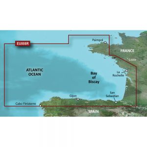
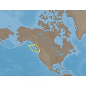
4D SA-D500 Costa Rica to Chile to Falklands
C-MAP charts have long been held in high regard by boaters because they combine aesthetically pleasing vector electronic charts with reliable sources. With the backing of Jeppesen’s parent company Boeing, a well-respected multibillion dollar global company, boaters can be assured that C-MAP charts are of the highest standard.
C-Map 4D will provide boaters with charts packed additional features such as raster chart views or Satellite images to maximize situational awareness.
Coverage Area:
Costa Rica to Chile and the Falklands
Features:
- Vector cartography
- Tidal heights
- Currents/Tidal flows
- Animated currents
- Marina charts
- C-Marina ports database
- California MPAs
- Coastal Roads
- Aerial Photos
- Land Elevations
- NavAids
- Multi-language charts
- TrueType font
- Depth Contours
- Online updates
- Explorer® charts
- Wavey Line charts
Additional information
| Weight | 0.1 lbs |
|---|---|
| Dimensions | 10 × 6 × 1 in |
| Brand | |
| Country |


