-
 1 × $10.00
 -
-
 1 × $11.50
 -
-
-
-
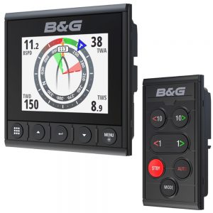
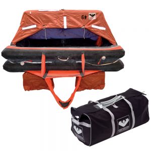
 1 × $350.00
 -
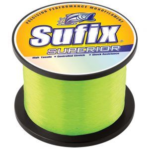
 1 × $399.99
 -
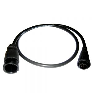
 1 × $498.91
 -

-
-

-

-
 1 × $79.99
 -
 1 × $19.99
 -
 1 × $361.75
 -
-
-

-
 1 × $26.99
 -
 1 × $315.95
 -
 2 × $174.99
 -
 1 × $87.99
 -
 1 × $145.95
 -
 1 × $280.75
 -
-
 1 × $108.99
 -
 1 × $65.49
 -
-
 1 × $29.99
 -
-
-
 1 × $60.99
 -

-
 1 × $21.99
 -
 1 × $300.00
 -
 1 × $16.99
 -
 1 × $148.87
 -
-
 1 × $1,047.95
 -
 1 × $600.00
 -

-
-
-
 1 × $404.99
 -

-
-
 1 × $12.68
 -

-

-
-
 1 × $24.99
 -
 1 × $9.95
 -
-

-
-

-
-
-
-
-
 1 × $249.95
 -
-
-
 1 × $64.99
 -
 1 × $2,419.00
 -
-
-
-
 1 × $651.49
 -
-
 1 × $2,730.00
 -
-
 1 × $232.99
 -
 1 × $75.00
 -
-

-
 1 × $24.98
 -
 1 × $730.00
 -
 1 × $48.98
 -

-
 1 × $24.99
 -
 1 × $300.00
 -
-
 1 × $179.95
 -
 1 × $300.00
 -
-
-


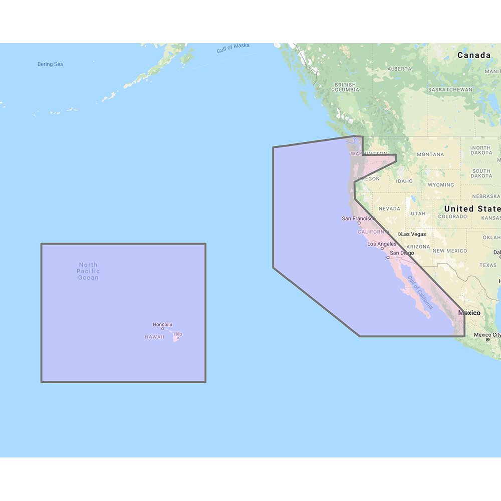
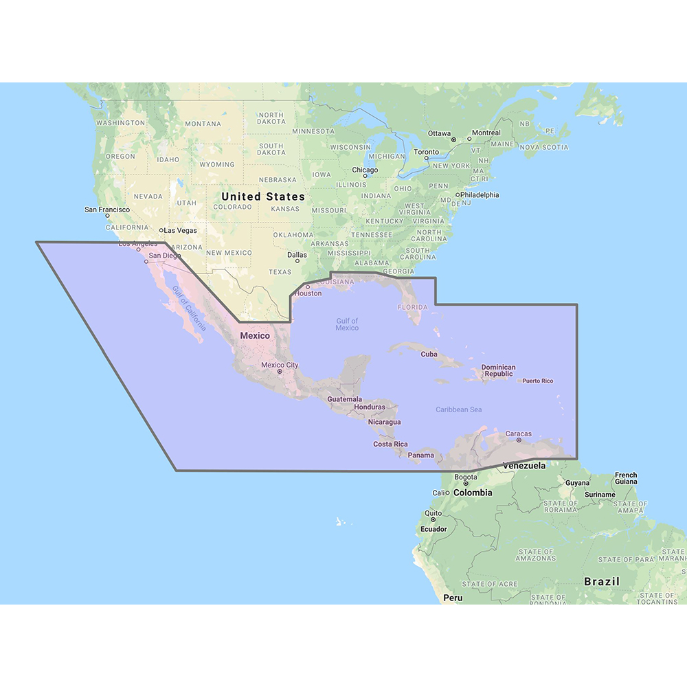
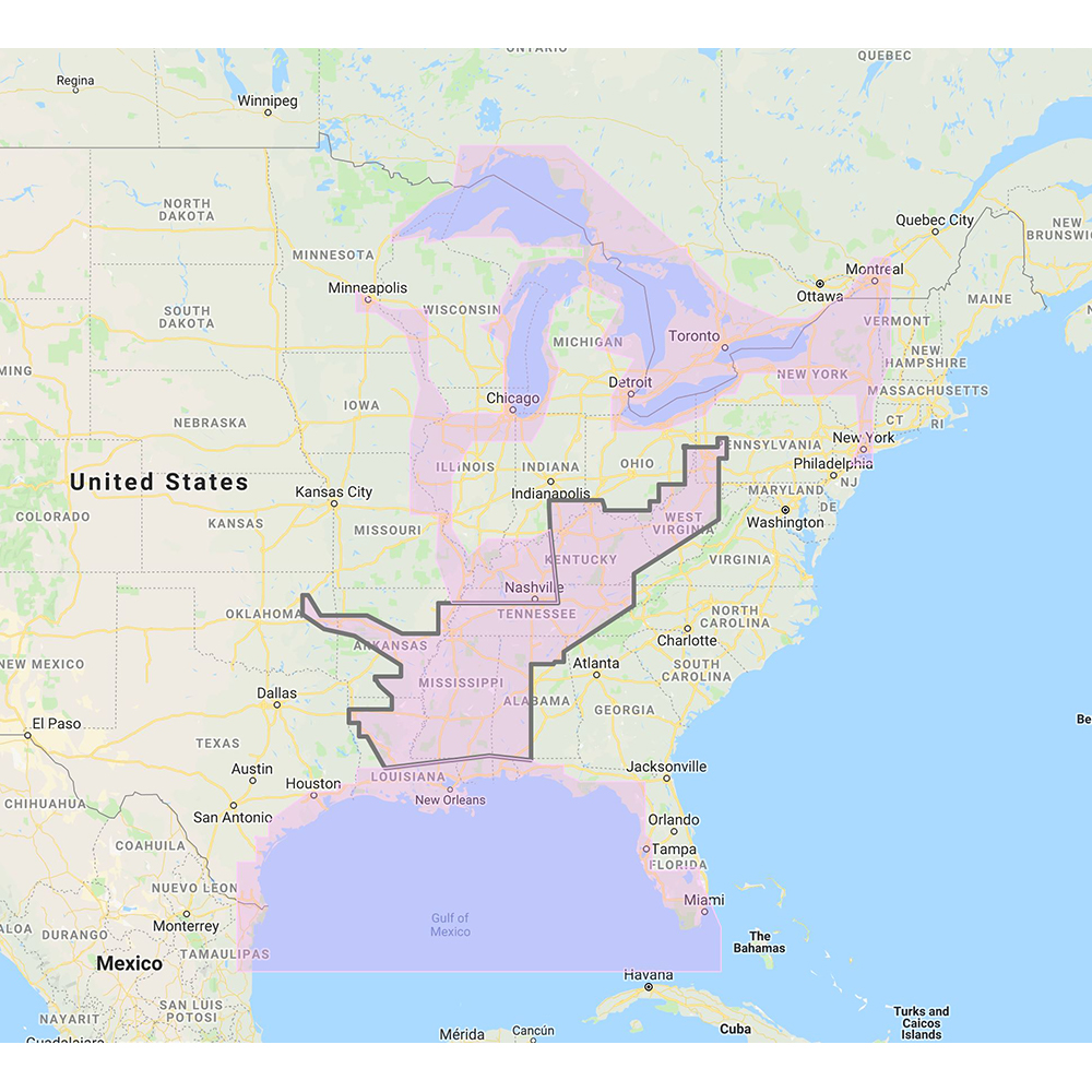
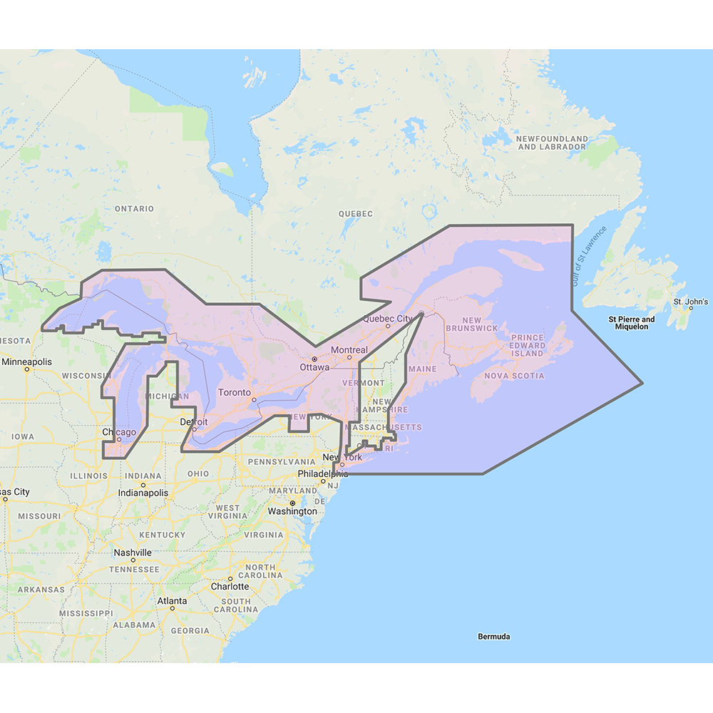
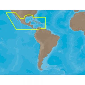
Furuno US & Canada Pacific Coast, Hawaii, Alaska, Mexico to Panama – C-MAP Mega Wide Chart

Roll over image to zoom in
US & Canada Pacific Coast, Hawaii, Alaska, Mexico to Panama – C-MAP Mega Wide Chart
C-MAP Mega Wide Chart – U.S. & Canada Pacific Coast, Hawaii, Alaska, Mexico to Panama. Vector charts, 3D data & standard resolution satellite photos.
This Chart Pack includes vector charts, 3D data and standard resolution satellite photography for the US and Canadian Pacific Coast, Hawaii, Alaska, and Mexico to Panama. C-MAP chart data is used and converted to the TimeZero format.
These C-MAP charts are comprised of the same cartographic chart information found in C-MAP MAX and C-MAP MAX PRO charts.
Additional information
| Brand |
|---|