
-
-
-
-
-
-
-
-
 1 × $89.99
 -
 1 × $42.90
 -
 1 × $26.99
 -
-
-

-

-

-
-
 1 × $12.62
 -
 1 × $31.80
 -

-
 1 × $428.57
 -
 1 × $99.95
 -
-

-
-
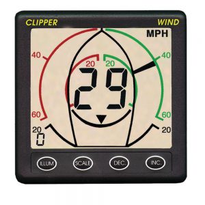
 1 × $1,633.00
 -
-
-

-
-
-
-

-
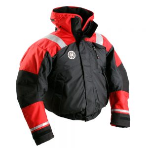
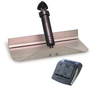
 1 × $349.99
 -

-

-
-

-
 1 × $47.50
 -

-
 1 × $32.95
 -
-
-
-
-

-
-
-

-
-
-
-
-
 1 × $37.99
 -
 1 × $174.49
 -

-
-
 1 × $247.50
 -
 1 × $1,105.19
 -
 1 × $165.00
 -

-
-
-
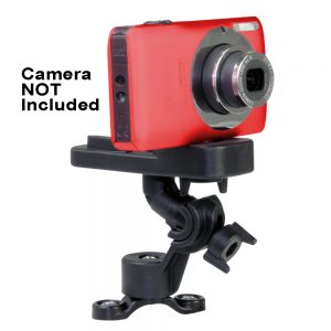
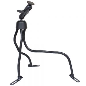
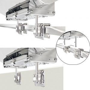
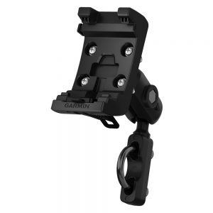
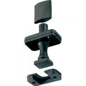
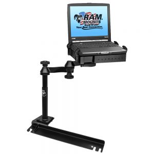 RAM Mount No-Drill Laptop Mount f/Ford Transit Connect, Dodge Grand Caravan, Chrysler Town & Country1 × $293.49
 -
 1 × $1,451.95
 -
 1 × $152.49
 -
-
-
-
 1 × $14.99
 -
-
 1 × $49.99
 -
-
-
-
-
-

-
-
 1 × $2,812.50
 -
 1 × $762.99
 -
-
 1 × $18.50
 -
-

-
-
 1 × $18.69
 -
-
-

-
-

-
-

-
 1 × $479.99
 -
 1 × $1,938.70
 -
 1 × $139.00
 -

-
 1 × $12.68
 -
 1 × $271.91
 -
 1 × $249.95
 -
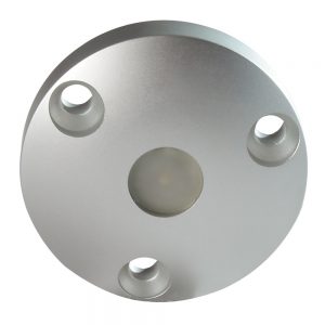
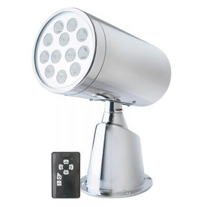
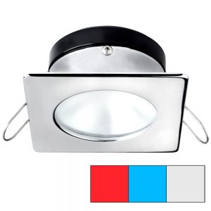 i2Systems Apeiron A1120 Spring Mount Light - Square/Round - Red, Cool White & Blue - Polished Chrome1 × $127.50
 -
 1 × $17.92
 -
 1 × $1,012.15
 -
-
-
 1 × $39.99
 -
-
-
-
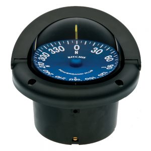
 1 × $169.00
 -
 1 × $29.96
 -
 1 × $478.60
 -
-
-
-
 1 × $49.99
 -
-
-
-
-
-
-
-
 1 × $71.20
 -

-
 1 × $22.26
 -
-

-
-
 1 × $189.95
 -

-
 1 × $9.49
 -
 1 × $1,850.00
 -


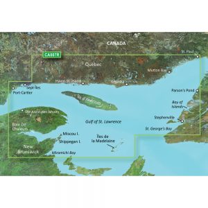
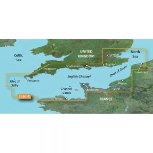
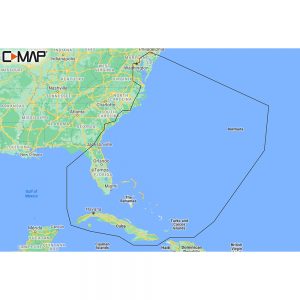
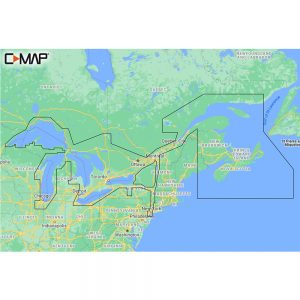
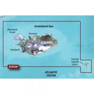
Garmin Navionics+ NSAE024R – Central West Papua & East Sulawesi – Marine Chart

Roll over image to zoom in
Navionics+ NSAE024R – Central West Papua & East Sulawesi – Marine Chart
Get the world’s No. 1 choice in marine mapping with the best, most up-to-date Navionics®+ cartography on your compatible chartplotter.
Featuring vibrant colors, a streamlined interface, and combined coastal/inland content with a popular Navionics® style color palette, Garmin Navionics+ cartography makes it easy to plot your course. Multiple shading options aid in shallow water navigation and make it easy to highlight a target depth range for the best fishing spots. Fully customizable with various chart layers, overlay combinations, and up to 10 color-shaded target depth range to scope out the best fishing spots.
When you purchase a new Garmin Navionics+ or Garmin Navionics Vision+ cartography product, a one-year subscription is included.
Chart Code – NSAE024R
Coverage Area:
Coastal coverage of Indonesia southeast and east of Sulawesi including East Timor and the ports of Surong, Manokwari, Manado, Makassar and Kendari.
Features:
- All-in-one Map Solution – Access detail-rich mapping of coastal features, lakes, rivers, and more. Integrated Garmin and Navionics® content offer coverage for boaters worldwide.
- Daily Chart Updates – Charts are constantly being enhanced with new and amended content — as many as 5,000 updates are made daily. The one-year subscription gives you access to daily chart updates via the ActiveCaptain app.
- Auto Guidance+ Technology – Combining the best of Garmin and Navionics automatic routing features, built-in Auto Guidance+ technology1 gives you a suggested dock-to-dock path to follow through channels, inlets, marina entrances and more.
- Depth Range Shading – High-resolution depth range shading lets you select up to 10 color-shaded options and view your designated target depths at a glance.
- Up to 1′ Contours – For improved fishing and navigation, up to 1′ contours provide a clear depiction of bottom structure for improved fishing charts and enhanced detail in swamps, canals, harbors, marinas and more.
- Shallow Water Shading – To give a clear picture of shallow waters to avoid, this feature allows for shading at a user-defined depth.
- ActiveCaptain Community – Community-sourced content provides useful POIs, such as marinas, anchorages, hazards, businesses and more. Get recommendations from boaters with firsthand experience of the local environment.
Compatibility:
- Check the compatibility of Garmin Navionics+ content and features with your GPS chartplotter.
Technical Specifications:
- Format – MicroSD/SD Card
In the Box:
- SD/MSD Card
1Auto Guidance+ is for planning purposes only and does not replace safe navigation operations
*Sold as an Individual
Additional information
| Weight | 0.1 lbs |
|---|---|
| Dimensions | 6 × 1 × 1 in |
| Brand | |
| Country |


