-
-
-

-
-
 1 × $1,143.35
 -
-
 1 × $105.00
 -
-
-
-
 1 × $12.68
 -
 1 × $1,154.99
 -
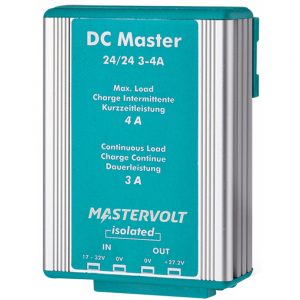
 1 × $9,995.00
 -
 1 × $24.95
 -
 1 × $119.99
 -
 1 × $1,198.28
 -
-

-
-
-
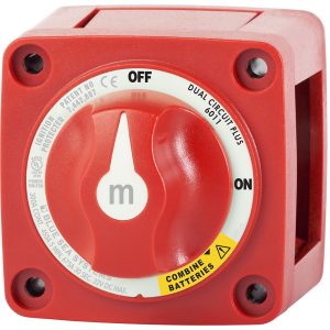
 1 × $850.00
 -
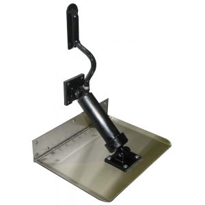
 1 × $8,399.00
 -
-
-
-
-
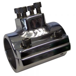
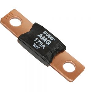
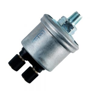
 1 × $684.99
 -
-
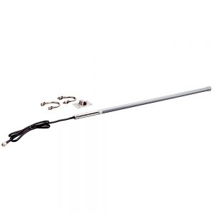
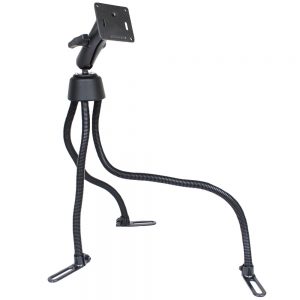 RAM Mount POD III Universal No-Drill Mount w/Double Socket Arm, 2.5" Round Base & 3.625" Square Base1 × $178.49
 -
-
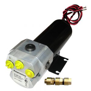
 1 × $1,365.00
 -
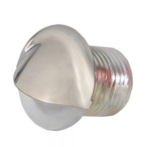
 1 × $59.99
 -
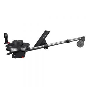
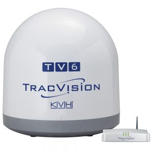
 1 × $6,929.95
 -
 1 × $35.31
 -
 1 × $31.99
 -
-
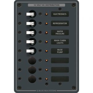
 1 × $3,464.99
 -
-

-
 1 × $7.58
 -
-
 1 × $49.99
 -

-
-
 1 × $20.99
 -
 1 × $61.00
 -
-
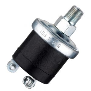
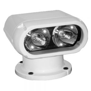
 1 × $250.00


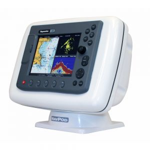
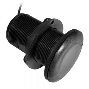
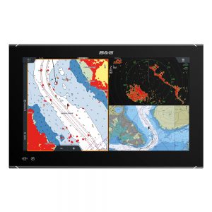
Garmin GPSMAP® 1243xsv Combo GPS/Fishfinder GN+ w/GMR 18HD+

Roll over image to zoom in
GPSMAP® 1243xsv Combo GPS/Fishfinder GN+ with GMR 18HD+
You’re an angler who wants premium features, maps, and charts for your connected helm, plus built-in sonar. This crisp 12″ high-resolution chartplotter makes that wish come true.
Get a sharper view from your connected helm with the GPSMAP® 1243xsv chartplotter. With its high-resolution 12” in-plane switching display, ultra-sleek design, and vivid sonar color palette, it seamlessly integrates into your Garmin marine system. GPSMAP 1243xsv also features built-in Ultra High-Definition SideVü™ and ClearVü™ scanning sonars and supports 1 kW CHIRP traditional sonar as well as fully networkable radar and live sonar devices. Preloaded Garmin Navionics+™ coastal charts and inland mapping feature Auto Guidance+™ technology (Auto Guidance+ is for planning purposes only and does not replace safe navigation operations) for helping you get where you need to go. Plus, there’s support for optional Garmin Navionics Vision+™ premium map content. Easily build your marine system — from compatible sonar and autopilots to compatible radar, cameras, and multimedia — by using HTML 5.0, NMEA 2000® and NMEA 0183 network connectivity, J1939 for engines, and the Garmin Marine Network. Or pair your plotter with your other compatible Garmin devices, such as quatix® marine smartwatches, wind transducers, wireless remote controls, and more.
Features:
- High-resolution in-plane switching touchscreen display offers improved sunlight readability and wide-angle visibility over previous-generation 12” units
- Fast and responsive, this robust GPSMAP® system references 10 Hz GNSS (GPS, GLONASS, and Galileo) for accurate positioning and smooth speed as well as COG data
- Slimline display borders, edge-to-edge glass, and reduced unit footprint make for easy retrofit in a wider range of dash configurations
- Preloaded Garmin Navionics+™ coastal charts and inland mapping feature Auto Guidance+™ technology (Auto Guidance+ is for planning purposes only and does not replace safe navigation operations); plus, there’s support for optional Garmin Navionics Vision+™ premium map content.
- J1939 engine connectivity for easy integration with engines and our exclusive OneHelm™ feature for connecting to your compatible third-party devices, such as EmpirBus™ digital switching
- Easily build your marine system — from compatible sonar and autopilots to compatible radar, cameras and multimedia — by using NMEA 2000® and NMEA 0183 network connectivity and the Garmin Marine Network
- Use built-in Wi-Fi® networking to pair with the free ActiveCaptain® smartphone app for access to the OneChart™ feature, smart notifications, software updates, and more.
- Integrated ANT® connectivity support for use with your compatible quatix® marine smartwatches, gWind™ Wireless 2 transducer, GNX™ Wind marine instrument, and wireless remote controls
- Built-in Ultra High-Definition SideVü™ and ClearVü™ scanning sonars with high-contrast vivid color palettes to help distinguish fish from structure
- Supports live sonar devices, 1 kW CHIRP traditional sonar, and more
What’s In The Box?
- Chartplotter
- microSD preinstalled
- Power cable
- NMEA 2000 T-connector
- NMEA 2000 drop cable
- Bail mount with knobs
- Flush mount kit with gasket
- Protective cover
- Trim piece snap covers
- Documentation
- GPSMAP x3 chartplotters are preloaded with Garmin Navionics+ offshore, coastal, and inland water charts for the U.S. and Canada
 WARNING: This product can expose you to chemicals including NICKEL (METALLIC) which is known to the State of California to cause cancer. For more information go to P65Warnings.ca.gov.