-
-
 1 × $349.20
 -
-

-

-
-
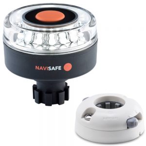
 1 × $179.99
 -
-
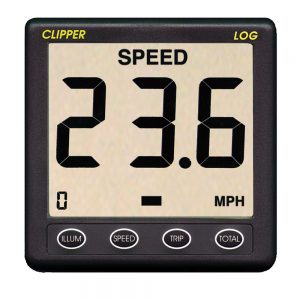
 1 × $129.99
 -

-
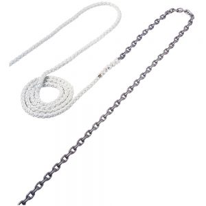
 1 × $32.99
 -
-
-

-

-
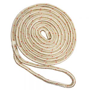
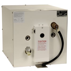
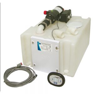
 1 × $797.50
 -
-

-
 1 × $419.99
 -
-
 1 × $28.45
 -
-
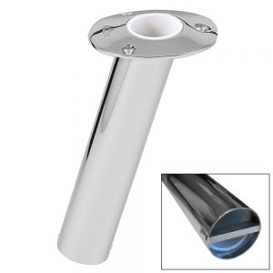
 1 × $17.99
 -

-
-

-
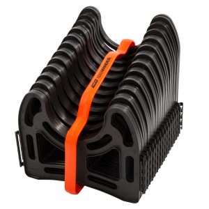
 1 × $13.48
 -
-
 1 × $8.99
 -
-
-
-
 1 × $18.99
 -
-
-
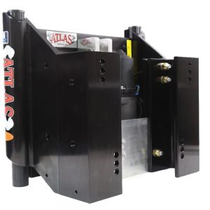
 1 × $1,383.42
 -
-
-
-
-

-

-

-
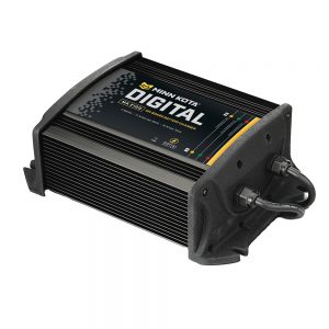
 2 × $189.95
 -
-
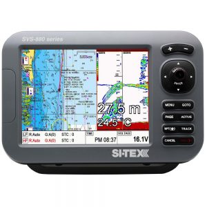
 SI-TEX SVS-760CF Dual Frequency Chartplotter/Sounder w/ C-Map 4D Chart & Bronze 20 Degree Transducer1 × $1,499.00
 -
 1 × $20.95
 -
-

-

-

-
-
 1 × $8.99
 -
-
 1 × $37.99
 -

-
 1 × $52.99
 -
-
 1 × $33.06
 -
 1 × $31.99
 -
 1 × $14.99
 -
 1 × $574.37
 -
 1 × $3.99
 -
-
 1 × $34.75
 -
-
-

-

-

-
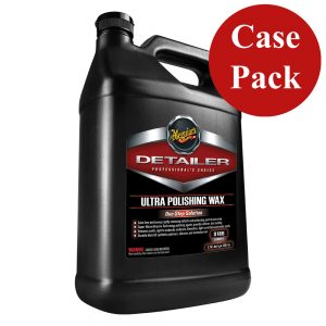
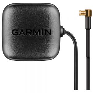
 1 × $449.00
 -

-
 1 × $1,584.99
 -
-
 1 × $9.98
 -
-
-
-
 1 × $103.49
 -
-
 1 × $239.15
 -
 1 × $1,299.00
 -
-
-

-
 1 × $39.97
 -
-
 1 × $359.99
 -
 1 × $230.54
 -
 1 × $1,867.00
 -
 1 × $569.99
 -
-
-
 1 × $7.95
 -
 1 × $24.49
 -
 1 × $9.99
 -

-
 1 × $249.99


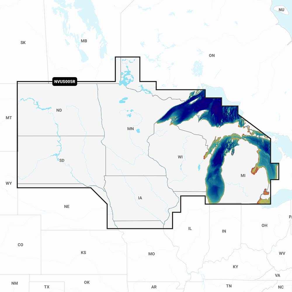
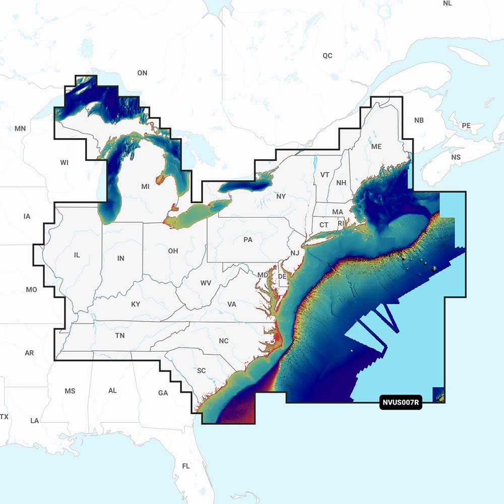
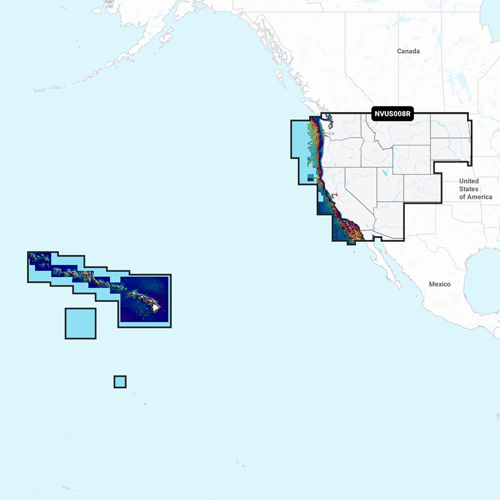
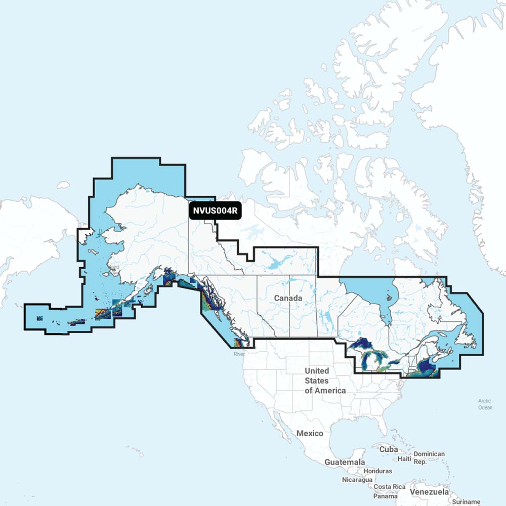
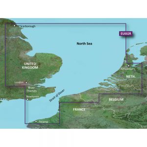
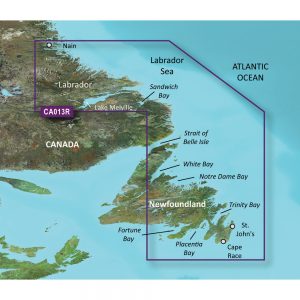
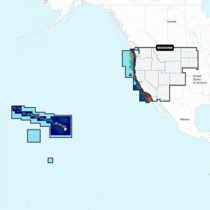
Garmin Navionics Vision+™ NVSA005L – Chile, Argentina & Easter Island – Marine Charts

Roll over image to zoom in
Navionics Vision+™ NVSA005L – Chile, Argentina & Easter Island – Marine Charts
It’s A Whole New Look On Your Chartplotter
Featuring vibrant colors, a streamlined interface, and combined coastal/inland content with a popular Navionics® style color palette, Garmin Navionics+ cartography makes it easy to plot your course with the world’s No. 1 name in marine mapping1.
Features:
- Navigate with our best offshore and inland lake coverage for your Garmin chartplotter.
- See it your way. Customize your view with various chart layers and overlay combinations.
- With your included one-year subscription, access daily updates via the ActiveCaptain® smart-device app.
- Auto Guidance+™ technology2 lets you navigate with suggested dock-to-dock routings.
- Select up to 10 color-shaded target depth ranges to scope out the best fishing spots.
- Save money by renewing your subscription — and continue accessing daily updates plus new content downloads.
- Access detail-rich mapping of coastal features, lakes, rivers, and more. Integrated Garmin and Navionics® content offer coverage for boaters worldwide.
- Charts are constantly being enhanced with new and amended content — as many as 5,000 updates are made every day. Your one-year subscription includes access to daily chart updates via the ActiveCaptain app.
- Combining the best of Garmin and Navionics automatic routing features, built-in Auto Guidance+ technology2 gives you a suggested dock-to-dock path to follow through channels, inlets, marina entrances, and more.
- High-resolution depth range shading lets you select up to 10 color-shaded options and view your designated target depths at a glance.
- For improved fishing and navigation, up to 1′ contours provide a clear depiction of bottom structure for improved fishing charts and enhanced detail in swamps, canals, harbors, marinas and more.
- To give a clear picture of shallow waters to avoid, this feature allows for shading at a user-defined depth.
- Community-sourced content provides useful POIs, such as marinas, anchorages, hazards, businesses and more. Get recommendations from boaters with firsthand experience of the local environment.
- This downloadable shading feature4 combines color and shadow to give you an easy-to-interpret, clearer view of the bottom structure than contour lines alone.
- Downloadable high-resolution satellite imagery4 provides superior situational awareness.
- Crystal-clear aerial and surface photos of ports, marinas, bridges, docks, boat ramps, dams, and navigational landmarks provide a better sense of your surroundings above the waterline.
- This underwater perspective shows a 3D representation of the bottom and contours as seen from below the waterline. Interface with sonar data for a customized view.
- This view provides a 3D representation of the surrounding area both above and below the waterline.
- Adjust your maps to the lake’s current water levels to see if spots are accessible or too shallow to explore.
1 Based on 2021 reported sales
2 Auto Guidance+ is for planning purposes only and does not replace safe navigation operations
3 Raster cartography cannot be viewed on echoMAP™ CHIRP and ECHOMAP™ Plus combos but can be viewed on mobile devices via the ActiveCaptain mobile app
4 Subscription required; a one-year subscription, which is included with the purchase of Navionics Vision+ mapping solution, lets you access daily chart updates and download additional content or premium features included with your cartography product
Additional information
| Weight | 0.15 lbs |
|---|---|
| Dimensions | 6 × 4 × 1 in |
| Brand | |
| Country |