-
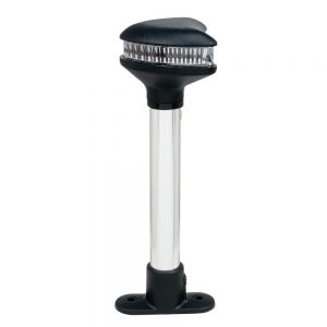
 1 × $479.99
 -
-

-

-
 1 × $10.99
 -
-
-
 1 × $234.99
 -
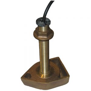
 1 × $399.99
 -
-

-
-
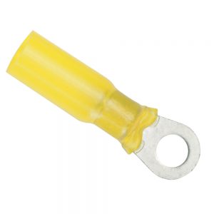
 2 × $30.99
 -
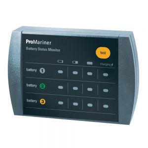
 1 × $930.99
 -
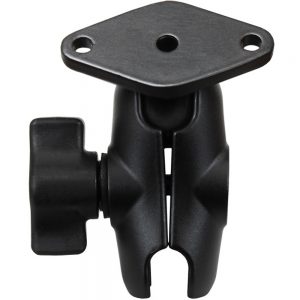
 1 × $50.00
 -
-
-
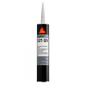
 1 × $429.99
 -

-

-
-
-
-
-

-
 1 × $21.27
 -
-
-
 1 × $49.99
 -
 1 × $49.99
 -

-

-
 1 × $319.95
 -

-
-
-

-

-
-
-
-
 1 × $51.49
 -

-
 1 × $41.94
 -
-
 1 × $169.00
 -
 1 × $19.95
 -
-
-
-
 1 × $14.80
 -

-
-

-
-
-
-
 1 × $61.00
 -
-
 1 × $249.95
 -

-
 1 × $20.00
 -
-
-
 1 × $12.85
 -

-
 1 × $74.99
 -

-

-
 1 × $4,378.54
 -
 1 × $1,198.28
 -
-
-
-
1 × $46.99
-
 1 × $19.95
 -
 1 × $72.00
 -
-
-

-
 1 × $379.99
 -
-
 1 × $24.95
 -
-
 1 × $124.60
 -
-

-
 1 × $44.99
 -
-
 1 × $397.00
 -
-
-
 1 × $249.99
 -
-
-

-
 1 × $17.99
 -
 1 × $12.68
 -
-
-

-
-
 1 × $6.99
 -
 1 × $259.99
 -
-
-
 1 × $2,299.95
 -

-
-
-
-
-
 1 × $17.49
 -
-
 1 × $339.89
 -
 1 × $49.99
 -


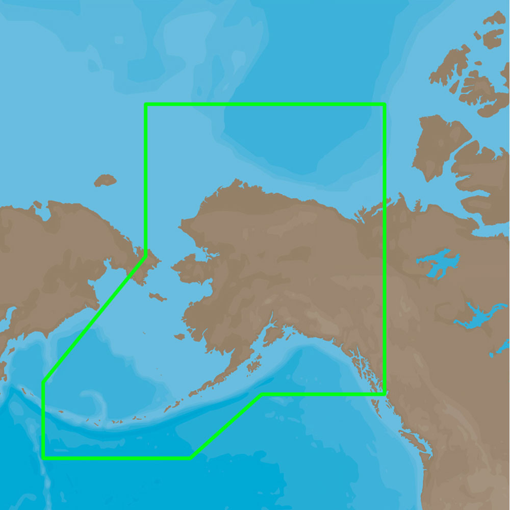
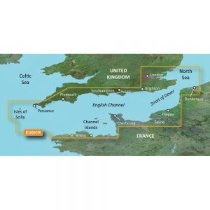
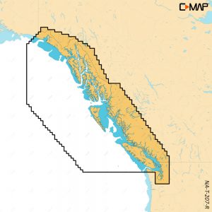
4D Lakes NA-D074 South East
C-MAP charts have long been held in high regard by boaters because they combine aesthetically pleasing vector electronic charts with reliable sources. When buying C-MAP boaters can be assured that the charts they are getting are of the highest standard.
C-Map 4D will provide boaters with charts packed additional features such as raster chart views or Satellite images* to maximize situational awareness.
Coverage Area:
Lakes and major rivers of the South East area of the USA in the states of: Florida, Georgia, Alabama, Tennessee, South Carolina, North Carolina.
Additional information
| Weight | 0.2 lbs |
|---|---|
| Dimensions | 8 × 5 × 1 in |
| Brand |